I slept well enough with all the rolling and banging. I took a shower, made breakfast,
and headed out about 8:00 AM. It was only 69 degrees F
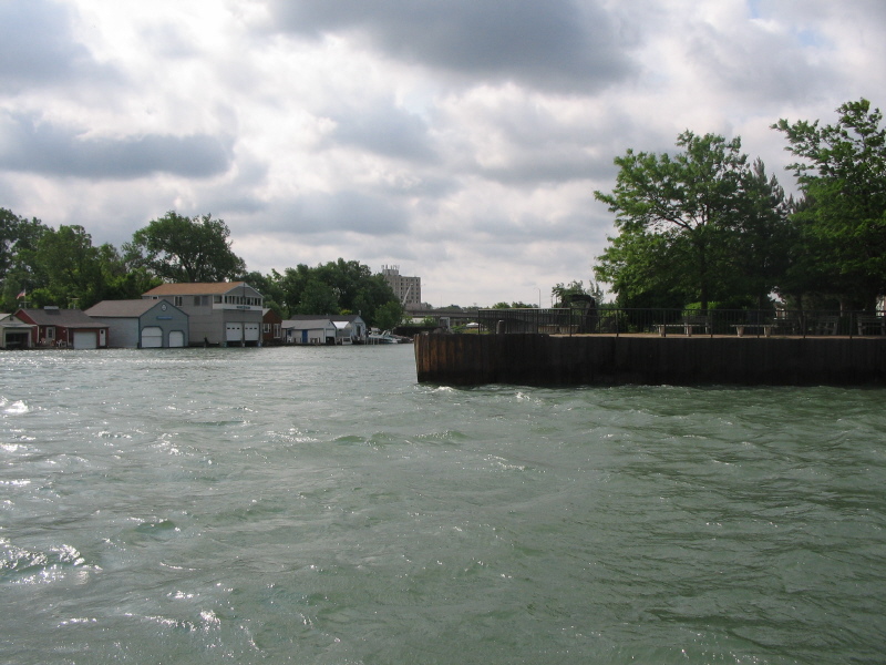
and very grey and windy. As I headed out of the marina I passed the opening from the
main seawall off the lake and the waves were rolling over the wall. Surely not a day to
be out on the lake.
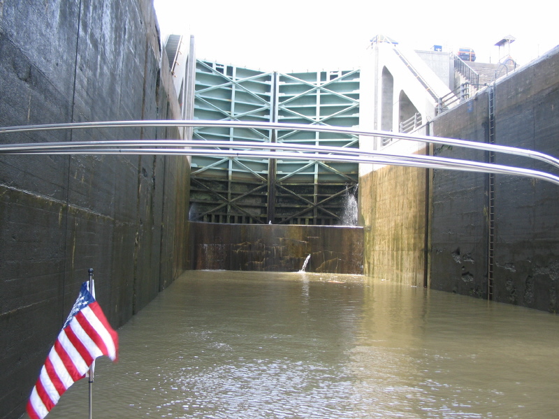
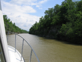
Buffalo is on the start of the Niagara River, and the first few miles have a swift rapids.
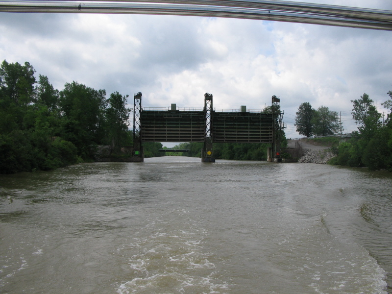
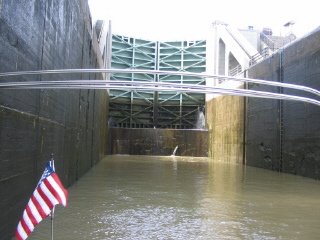
The Black Rock Canal runs along the edge of the river, seperated by just a seawall. It ends at
a huge lock, operated by the Army Corps of Engineers. They must have dumped a million gallons
of water to let my boat down the 5 feet.
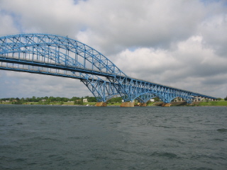 |
The Niagara River splits and forms Grand Island. This is the bridge for I-190 to
the island then to Niagara Falls. Its one of those bridges I have driven over a hundred
times and wanted to see from below. |
 |
Here it is, the entrance to the Erie Canal off the Niagara River. I guess
I expected some kind of gateway arch or something, just one little sign, and that was
to small to photo. I was in the canal about 9:45
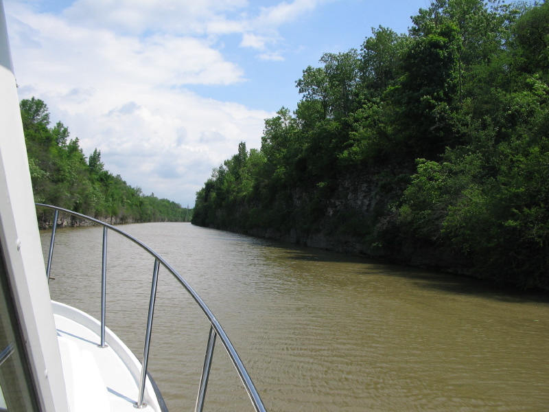
The first section, for about 10 miles, is the Tonawanda Creek |
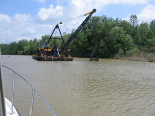 |
Just a few miles along I encountered this dredge. He was sure mudding the water. It
took me a while to realize the water was flowing inland- the entire western part of the
Canal is fed by water from Lake Erie, and the first 12 locks, almost to the center of the
state are down stream of Lake Erie. |
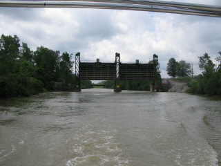 |
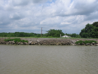
This is the first Guard Gate I saw. There is one of these between every set of locks.
These gates are closed and the canal drained for the winter, allowing maintenance
of the locks. |
 |
The frist real canal is this cut section through rock. |
 |
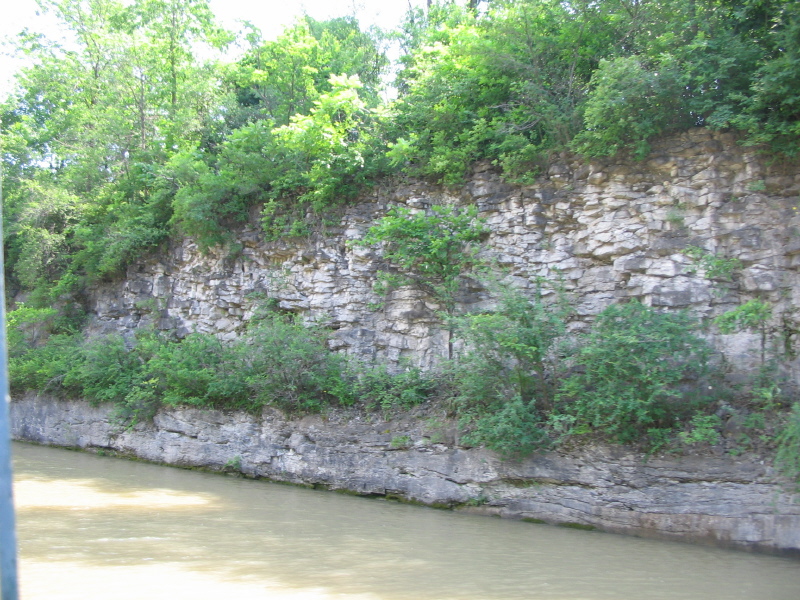
This is the kind of rock all along the canal. |
 |
The first set of two locks is at Lockport, and they are huge. Two locks in flight
for a total lift of 49 feet, or in the eastward direction a drop of 49 feet. |
 |
The western end of the canal is built along the side of a slope. It
was dug out, and banked up, mostly on the north side, altough there are
places where its filled one each side.
Its really odd to look out the boat window and be looking down on the land.
I need to come back here by car someday and see the boats moving along on the
ridges above the land. |
 |
I stopped the first night at Spencerport. I can't find a good milemarker list, but
I think this was about 50 miles of canal. When I arrived I found there was a carnival
in town- and I was just in time for the annual Firemens Parade. I almost didn't stop,
but the next place was to far, so I found a tie-up at the far end of the wall. It
turned out to be a nice quiet spot.
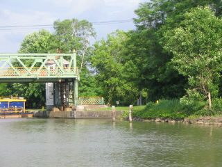
This is the lift bridge in Spencerport, but there was at least a dozen of them along this end
of the canal- all built exactly alike, all with this simple straight lift mechanism. The
lift cables are down in a pit along side of the canal, I wonder how they keep them dry?
|
I walked around the town, watched the parade- 2 fire trucks, and all the local school bands
and scout troups. The bridge tender saw my Maine registration and came over to talk about Maine-
he wanted to know where to go to see a moose. He seemed disapointed to hear the only moose I
ever saw was in Vermont, on the start of this trip.