 |
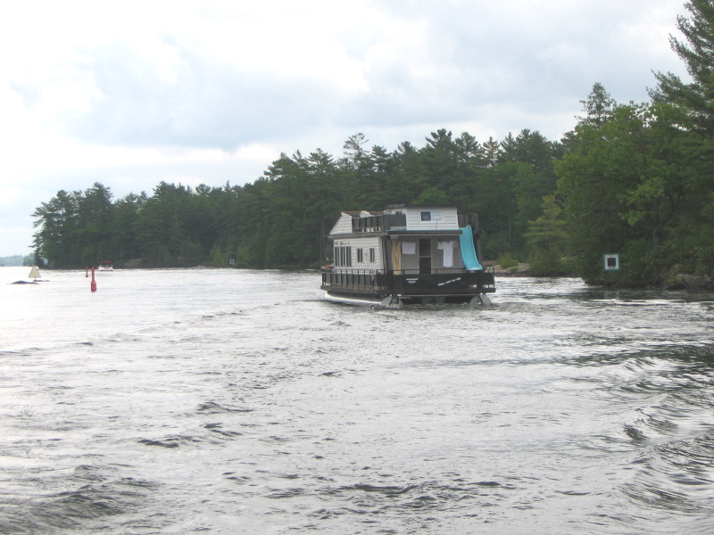
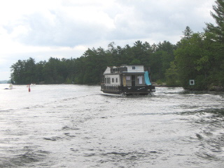
I am now into the heart of the lakes area, and houseboats are common.
Most of them have big rental signs on the side, so while you cruise in your
rented houseboat you are a moving billboard. The slide on the back clearly
indicates this is a play-time boat. |
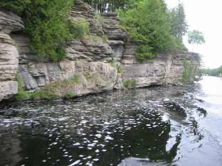 |
Also getting up into the rocky country, so lots of places where I passed
big rock walls like this one. |
 |
I planned to stop at a marina in Bobcaygeon, and when I passed through the
lock I asked about internet access and was told the library was just down the
street. What was lacking was a place to tie up the boat- this weekend is a
big 'river raft' festival and the place was mobbed.
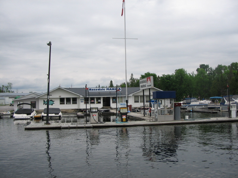
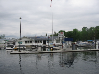
I was getting a bit low on fuel, so I stopped at a marina just past Bobcaygeon,
only to find they didn't have diesel, and the only place they knew of was just
over 20 more miles.
This is the marina where I found fuel, water, and a pump out. Only $140 of fuel this
time, but they charged me $40 for a pumpout. The shower was $1 and well worth it. |
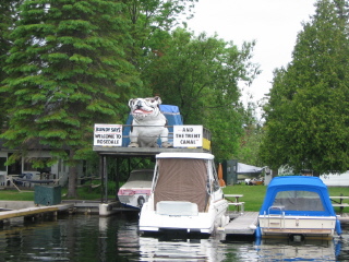 |
I've been looking for a way to sumarize the difference between the Rideau Canal
and the Trent-Severn, and maybe this sign shows it. This is lakes country-
a big party place, lots of jet skis, fast speedboats, house boats and lots of
businesses aimed to draw tourists, and their money.
I don't mean to put a bad spin on the Trent-Severn- it's a wonderful
summer party place, I'm just not that kind of party person. |
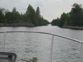 |
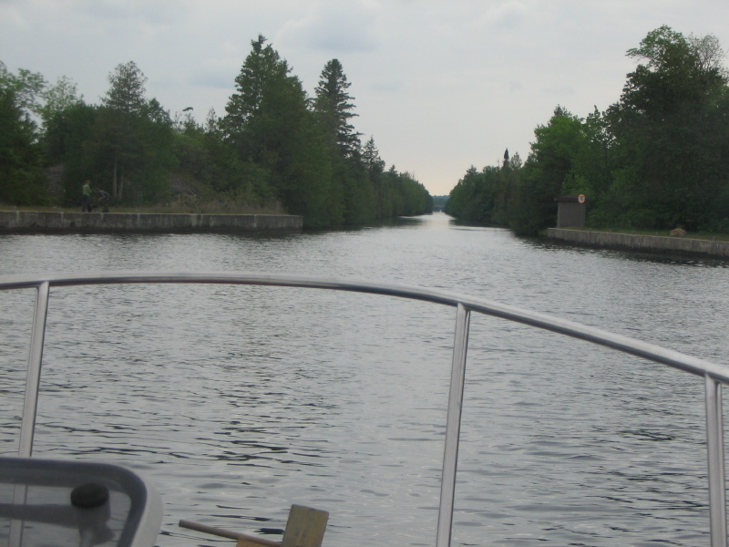
Here is the entrance to the first of the major Trent canal cuts. This was straight
as an arrow for several miles, blasted out of a shale like rock. There were piles
of the rock all along the cut. It was heavily overgrown, and no sign of habitation.
The charts shows the entrie area around this to be very flat, obviously a good place
to make a canal cut.
This is also the turning point- from here on its down hill to Lake Huron.
|
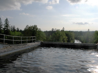 |
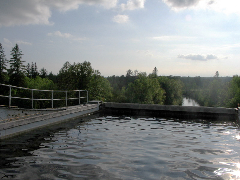
After several miles of this cut you see some steel work across the canal,and it
looks like the end of the world- Ive reached the edge! |
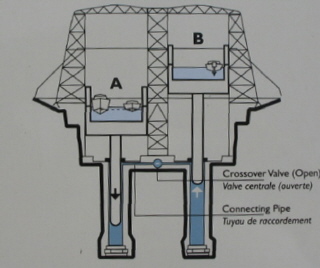 |
This is about the best diagram Ive been able to photo of the lift lock mechanism.
It does show the two cylinders, and the cross connection pipe. |
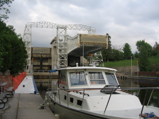 |
Actually I've reached the Kirkfield Lift lock, second only to Peterborough
in lift, but this one mostly of open steel construction. It was completed in 1907,
3 years after Peterborough.
I got here just before closing time, so no real chance to get a tour. |
There is a swing bridge a couple miles ahead, and the lock keeper said it was better
to tie up here than at the bridge, so I tied up and walked across the road to a
small restaurant for dinner.
A good long run today, 64.9 miles, 9 locks, and a fuel stop. I did try a speed
run on one of thelakes early in the moring whenit was flat. At 3000 rpm I was up to 13.5
mph. There was some vibration and more noise, but it didn't feel like I was abusing anything.
Its still more pleasant at 2400 rpm and 9mph, and this last tank was 1.7 gal per hour.